Sponsored This site contains affiliate links for which we may receive compensation. More information
 WHSmith
 23.95 GBP
23.95 GBP
02-09-2026 12:47:27






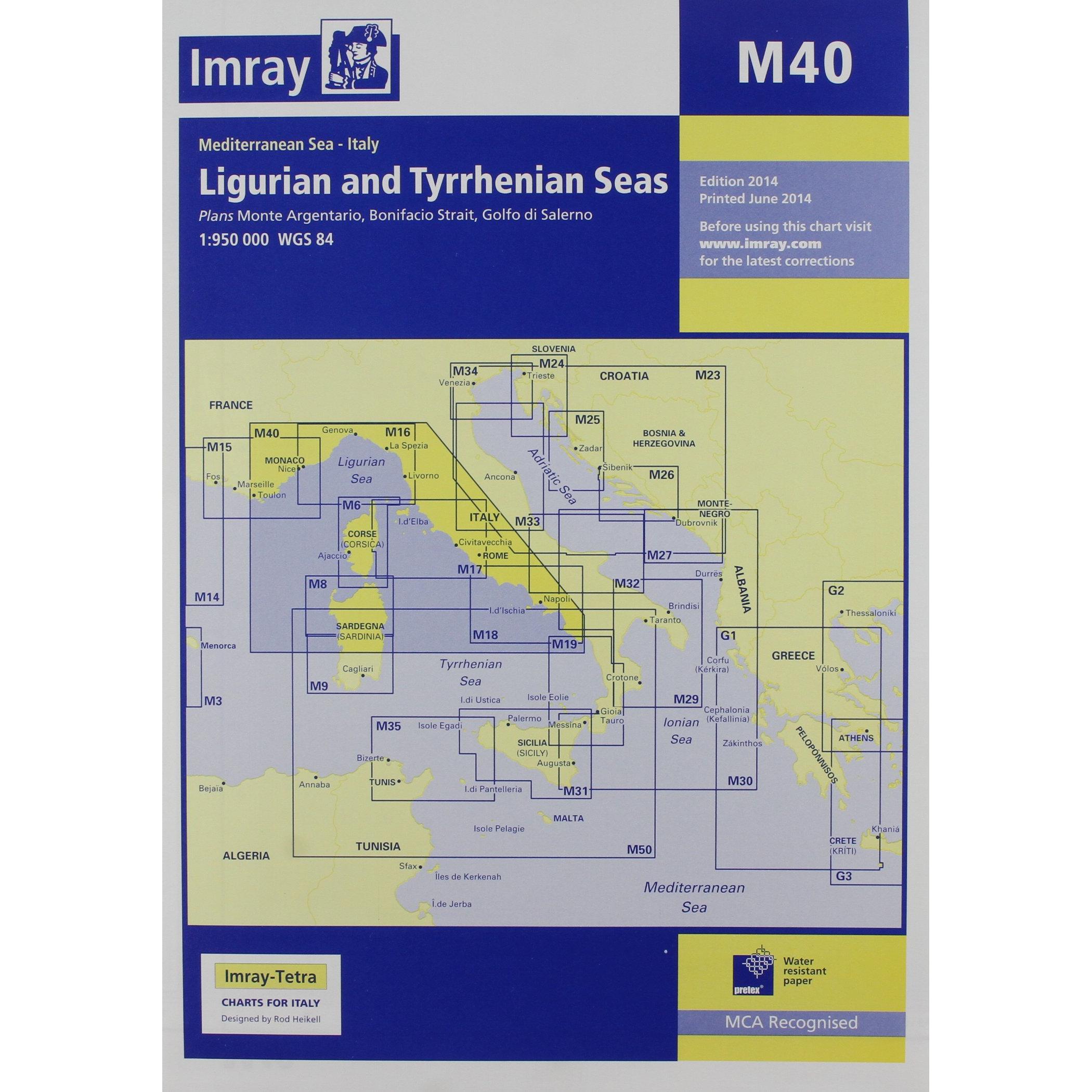
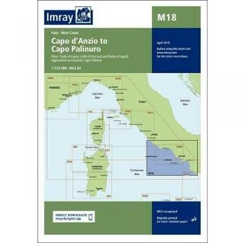
Chart the winding coast of Italy’s western seas with this compact map, featuring detailed depth contours, buoy positions, lighthouse markers, harbor entrances, and up‑to‑date navigational aids for confident sailing along the Ligurian and Tyrrhenian waters.