Sponsored This site contains affiliate links for which we may receive compensation. More information
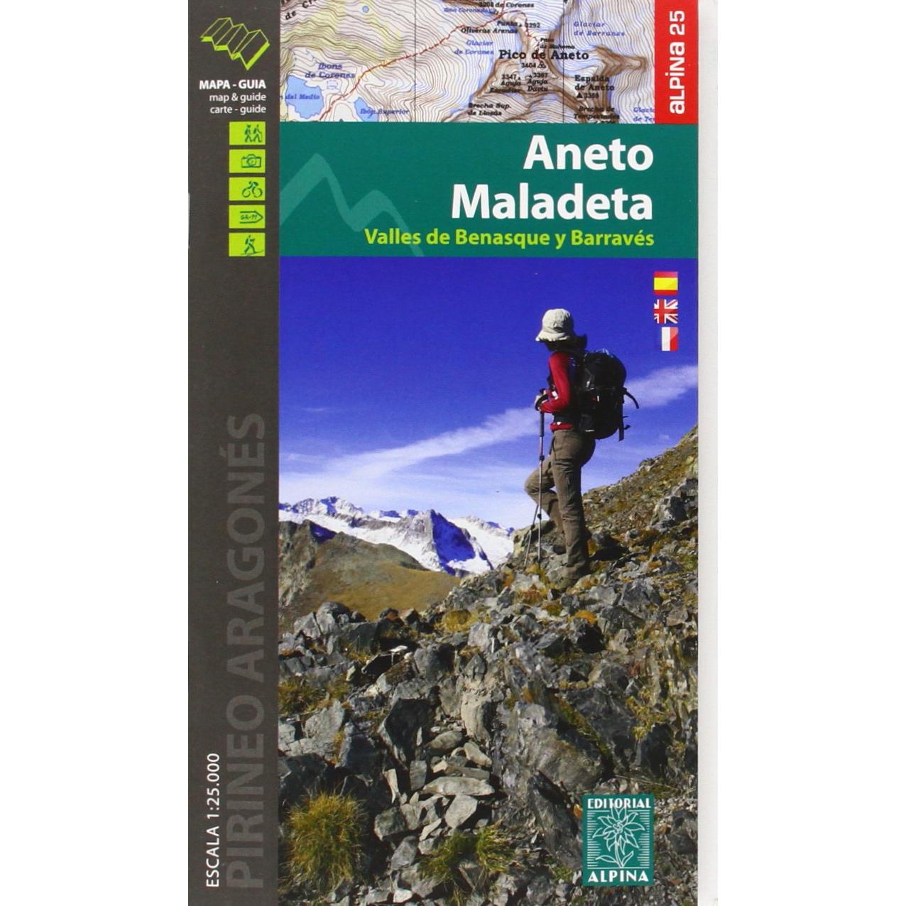
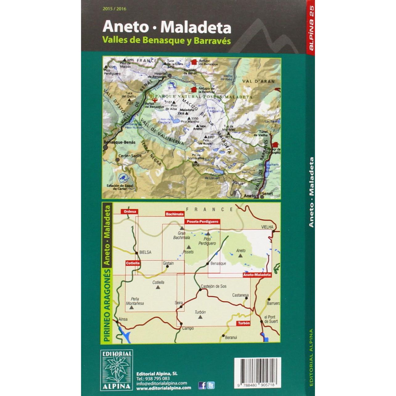

Chart the ascent of Spain’s highest peaks with this 1:25,000 map and guide to Aneto and Maladeta, offering precise contour lines, marked routes, elevation data, and practical trekking advice.