

Sponsored This site contains affiliate links for which we may receive compensation. More information
7.80 GBP
12.99 GBP
28-07-2026 02:58:40
7.80 GBP
12.99 GBP
28-07-2026 02:32:33
12.99 GBP
12.99 GBP
27-07-2026 13:19:52
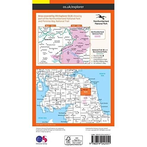
| Country of publication | UNITED KINGDOM |
|---|---|
| Dimensions | (H) 237mm, (W) 140mm, (D) 13mm |
| Edition | May 2015 ed |
| Imprint | Ordnance Survey |
| ISBN | 9780319242551 |
| Page count | 0 |
| Publication date | Mon Jun 01 00:00:00 BST 2015 |
| Status | In Print |
| Weight | 128 grams |