Sponsored This site contains affiliate links for which we may receive compensation. More information
12.99 GBP
12.99 GBP
02-08-2026 15:44:01
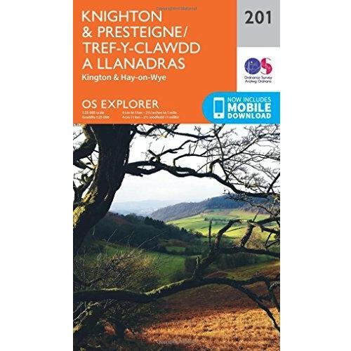
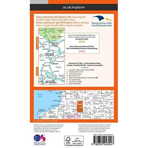
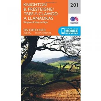

Chart the misty highlands around Knighton and Presteigne with this Ordnance Survey Explorer map, where detailed contour lines reveal craggy peaks, serene valleys, and historic stone circles, inviting hikers to uncover hidden paths and quiet villages.