


Sponsored This site contains affiliate links for which we may receive compensation. More information
7.80 GBP
12.99 GBP
24-06-2026 17:10:53
7.80 GBP
12.99 GBP
24-06-2026 17:09:06
12.99 GBP
12.99 GBP
25-06-2026 12:54:21
12.99 GBP
12.99 GBP
24-06-2026 17:11:31
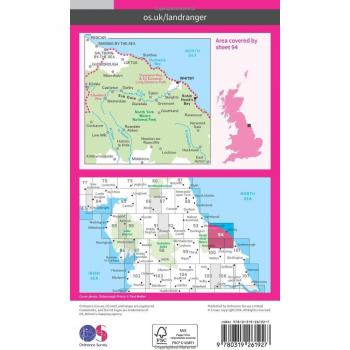
| Country of publication | UNITED KINGDOM |
|---|---|
| Dimensions | (H) 218mm, (W) 138mm, (D) 11mm |
| Edition | February 2016 ed |
| Imprint | Ordnance Survey |
| ISBN | 9780319261927 |
| Page count | 0 |
| Publication date | Wed Feb 24 00:00:00 GMT 2016 |
| Status | In Print |
| Weight | 98 grams |